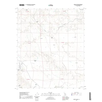
2018 Map of Arroyo Tapiado
USGS Topo · Published 2018About this map
Mesquite Oasis and Palm Spring mark essential water points in this arid landscape where the Vallecito Mountains meet the desert floor. The map records a complex network of geological features including West Mesa, Mid Mesa, and South Mesa, separated by deeply carved drainage systems like Fish Creek Wash and Arroyo Hueso. One of the most significant historical markers is the Great Southern Overland Stage Rte, which traverses the southern portion of the sheet near Carrizo Valley. This route provides a tangible connection to nineteenth-century westward expansion and the Butterfield Overland Mail era. Near the settlement of Canebrake Canyon, a grid of local roads such as Staghorn Rd and Willow Way shows contemporary residential development contrasting with the surrounding wild terrain of the Tierra Blanca Mountains.
Find a feature on this map
42 named features on this map. Tap any name to fly to it.
Don’t see what you’re looking for? This feature index may not catch every label — zoom into the map to look around manually.
Map Details
Editions of this 2018 Arroyo Tapiado Map
This is the sole edition of this map. No revisions or reprints were ever made.
Other maps of this area

1931 · Vallecito
USGS Topo · 1:125,000

1931 · Carrizo
USGS Topo · 1:125,000

1939 · Borrego
USGS Topo · 1:62,500

1942 · Barrel Spring
USGS Topo · 1:62,500

1942 · Borego
USGS Topo · 1:62,500

1942 · Carrizo Mtn
USGS Topo · 1:62,500

1942 · Cuyapaipe
USGS Topo · 1:62,500

1943 · Vallecito
USGS Topo · 1:125,000

1947 · Santa Ana
USGS Topo · 1:250,000
1947 · Barrel Spring
USGS Topo · 1:62,500