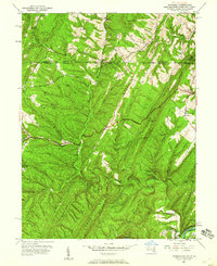
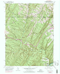
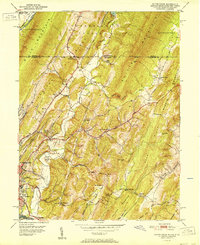
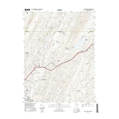
1950 Map of Artemas
USGS Topo · Published 1960About this map
The Mason and Dixon Line serves as the northern anchor of this survey, marking the historic boundary between Pennsylvania and Maryland. Located in a landscape of parallel ridges including Town Hill and Green Ridge, the area shows a mid-century pattern of upland farming and isolated mountain communities. Small centers like Artemas and Piney Grove are connected by the National Pike and the Old Town Road, while local life is centered around institutions such as St Patrick Ch, Mt Hope Ch, and the Piney Plains Sch.
Find a feature on this map
43 named features on this map. Tap any name to fly to it.
Don’t see what you’re looking for? This feature index may not catch every label — zoom into the map to look around manually.
Map Details
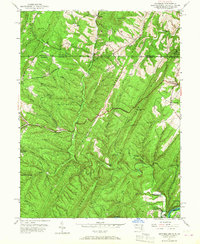
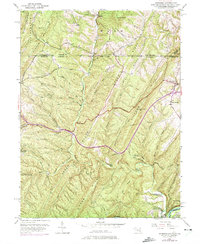
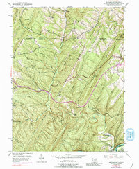
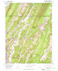
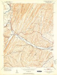
Editions of this 1950 Artemas Map
6 editions found

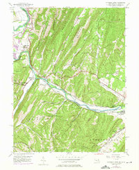
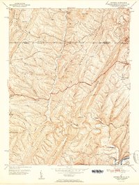
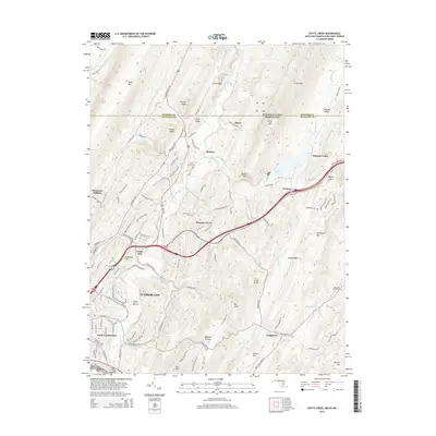
Historical Maps of Little Orleans Through Time
10 maps found
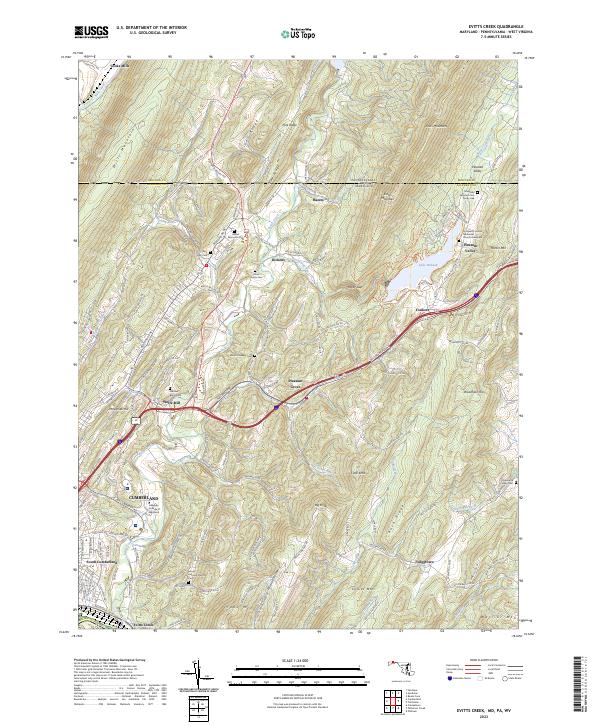
1949 Evitts Creek
Allegany County, MD
1949 Patterson Creek
Allegany County, MD
1951 Artemas
Allegany County, MD
1951 Evitts Creek
Allegany County, MD
1951 Pattersons Creek
Allegany County, MD
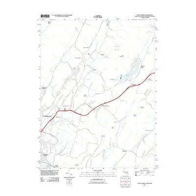
2011 Evitts Creek
Allegany County, MD
2014 Evitts Creek
Allegany County, MD
2016 Evitts Creek
Allegany County, MD
2019 Evitts Creek
Allegany County, MD
2023 Evitts Creek
Allegany County, MD