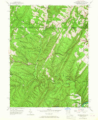
1950 Map of Artemas
USGS Topo · Published 1967About this map
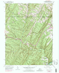
The Mason and Dixon Line defines the northern reaches of this mid-century survey, separating Maryland from Pennsylvania. The landscape is dominated by the steep parallel ridges of Green Ridge, Town Hill, and Polish Mountain, which channel the various branches of Fifteenmile Creek toward the Potomac River at the southern boundary. Transportation history is etched into the terrain, from the historic National Pike crossing the ridges to the route of the Western Maryland (Abandoned) railroad near the Cacapon River confluence.
Find a feature on this map
53 named features on this map. Tap any name to fly to it.
Don’t see what you’re looking for? This feature index may not catch every label — zoom into the map to look around manually.
Map Details
Editions of this 1950 Artemas Map
6 editions found
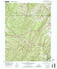
Other maps of this area

1898 · Paw Paw
USGS Topo · 1:62,500

1899 · Flintstone
USGS Topo · 1:62,500

1900 · Pawpaw
USGS Topo · 1:62,500

1900 · Flintstone
USGS Topo · 1:62,500

1910 · Paw Paw
USGS Topo · 1:62,500

1927 · Clearville
USGS Topo · 1:48,000

1927 · Hyndman
USGS Topo · 1:62,500

1931 · Clearville
USGS Topo · 1:62,500

1931 · Hyndman
USGS Topo · 1:62,500

1944 · Hyndman
USGS Topo · 1:62,500