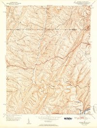
1951 Map of Artemas
USGS Topo · Published 1951About this map
Artemas and the surrounding Ridge-and-Valley terrain of Western Maryland are captured here just after the mid-century, defined by the winding course of Fifteenmile Creek and the historical Mason and Dixon Line at the Pennsylvania border. The landscape is dominated by massive parallel formations such as Green Ridge and Town Hill, which dictated the early transportation corridors like the National Pike and the Cumberland Road. Near the southern border, the Potomac River provides a base for the B & O RR and Western Maryland RR as they snake through the river gaps at Little Orleans. This era shows a settled rural backcountry with isolated landmarks including St Patrick Ch and the Long Pond Rod and Gun Club, alongside mineral-interest points like Black Sulphur Spring.
Find a feature on this map
50 named features on this map. Tap any name to fly to it.
Don’t see what you’re looking for? This feature index may not catch every label — zoom into the map to look around manually.
Map Details
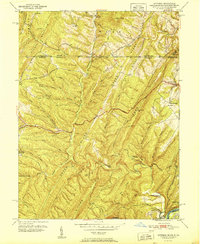
Editions of this 1951 Artemas Map
2 editions found
Other maps of this area

1898 · Paw Paw
USGS Topo · 1:62,500

1899 · Flintstone
USGS Topo · 1:62,500

1900 · Pawpaw
USGS Topo · 1:62,500

1900 · Flintstone
USGS Topo · 1:62,500

1910 · Paw Paw
USGS Topo · 1:62,500

1927 · Clearville
USGS Topo · 1:48,000

1927 · Hyndman
USGS Topo · 1:62,500

1931 · Clearville
USGS Topo · 1:62,500

1931 · Hyndman
USGS Topo · 1:62,500

1944 · Hyndman
USGS Topo · 1:62,500