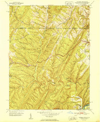
1951 Map of Artemas
USGS Topo · Published 1951About this map
Artemas and the surrounding Ridge-and-Valley province of the Maryland-Pennsylvania borderlands are defined by the sharp, parallel ridges of Polish Mountain and Green Ridge. In the early 1950s, this landscape was a complex network of narrow hollows and high gaps, where the Mason and Dixon Line separates Bedford and Allegany counties. The map reveals a transition from the agricultural plateaus to the north down toward the river-hewn curves of the Potomac River and Cacapon River in the south. Transportation history is deeply etched here, showing the route of the National Pike and the historic Old Cumberland Road. Community life centers on isolated landmarks like St Patrick Ch, Mt Hope Ch, and the Piney Plains Sch, while the B & O RR hugs the riverbank near Little Orleans, marking the vital rail corridor of the era.
Find a feature on this map
51 named features on this map. Tap any name to fly to it.
Don’t see what you’re looking for? This feature index may not catch every label — zoom into the map to look around manually.
Map Details
Editions of this 1951 Artemas Map
2 editions found
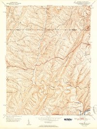
Other maps of this area

1898 · Paw Paw
USGS Topo · 1:62,500

1899 · Flintstone
USGS Topo · 1:62,500

1900 · Pawpaw
USGS Topo · 1:62,500

1900 · Flintstone
USGS Topo · 1:62,500

1910 · Paw Paw
USGS Topo · 1:62,500

1927 · Clearville
USGS Topo · 1:48,000

1927 · Hyndman
USGS Topo · 1:62,500

1931 · Clearville
USGS Topo · 1:62,500

1931 · Hyndman
USGS Topo · 1:62,500

1944 · Hyndman
USGS Topo · 1:62,500