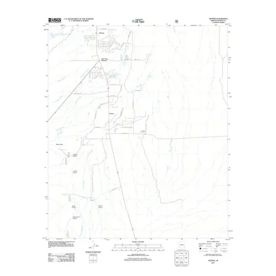
2011 Map of Artesia
USGS Topo · Published 2011About this map
Swift Trail Junction and the small settlement of Artesia anchor this 2011 survey of Graham County, where the desert floor meets the rising foothills of the Pinaleno Mountains. The landscape is defined by its drainage system, featuring a complex network of seasonal channels including Marijilda Wash, Swift Canyon Wash, and the expansive Stockton Wash. To the west, the terrain grows increasingly steep, marked by prominent landmarks like Metate Peak and a series of deep cuts through the earth such as Veach Canyon and Dutch Henry Canyon.
Find a feature on this map
43 named features on this map. Tap any name to fly to it.
Don’t see what you’re looking for? This feature index may not catch every label — zoom into the map to look around manually.
Map Details
Editions of this 2011 Artesia Map
This is the sole edition of this map. No revisions or reprints were ever made.
Other maps of this area

1942 · Mt. Graham
USGS Topo · 1:62,500

1945 · Mt. Graham
USGS Topo · 1:62,500

1954 · Silver City
USGS Topo · 1:250,000

1958 · Silver City
USGS Topo · 1:250,000

1960 · Thatcher
USGS Topo · 1:62,500

1960 · Safford
USGS Topo · 1:62,500

1962 · Silver City
USGS Topo · 1:250,000
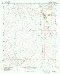
1966 · Tanque
USGS Topo · 1:24,000
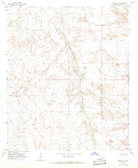
1966 · Artesia NE
USGS Topo · 1:24,000

1966 · Artesia
USGS Topo · 1:24,000