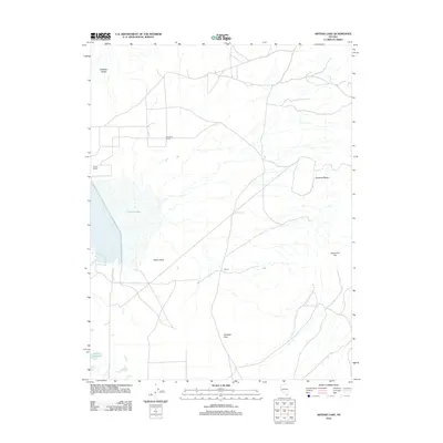
2012 Map of Artesia Lake
USGS Topo · Published 2012About this map
Artesia Lake sits as the central geographic landmark within Smith Valley, surrounded by the high terrain of the Buckskin Range and the Singatse Range. This 2012 depiction of western Nevada illustrates a landscape defined by isolated ranching outposts and strategic water sources in a high-desert environment. Notable human markers include the Artesia Ranch and Buckskin Ranch, while the small settlement of Delphi and nearby Delphi Springs indicate the historical importance of water for travel and habitation. The presence of Perrin Reservoir and the crossing at Nordyke Pass further highlight how land use is dictated by the local topography and resource management in this corner of Lyon County.
Find a feature on this map
11 named features on this map. Tap any name to fly to it.
Don’t see what you’re looking for? This feature index may not catch every label — zoom into the map to look around manually.
Map Details
Editions of this 2012 Artesia Lake Map
This is the sole edition of this map. No revisions or reprints were ever made.
Other maps of this area

1891 · Wabuska
USGS Topo · 1:125,000

1891 · Wellington
USGS Topo · 1:125,000

1893 · Wellington
USGS Topo · 1:125,000

1894 · Wabuska
USGS Topo · 1:125,000

1948 · Walker Lake
USGS Topo · 1:250,000

1957 · Walker Lake
USGS Topo · 1:250,000

1957 · Wellington
USGS Topo · 1:62,500

1957 · Como
USGS Topo · 1:62,500

1957 · Wabuska
USGS Topo · 1:62,500

1957 · Yerington
USGS Topo · 1:62,500