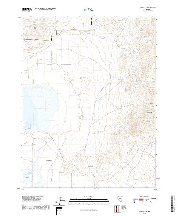
2021 Map of Artesia Lake
USGS Topo · Published 2021About this map
The Artesia Lake basin and the northern reaches of Smith Valley dominate this landscape on the border of Lyon and Douglas counties. Water, always the defining factor in this arid terrain, is marked by seasonal features like Delphi Springs and the Perrin Reservoir. The terrain is framed by the elevated Buckskin Range to the northwest and the Singatse Range to the east, which is dissected by Western Nevada Canyon and Sand Canyon.
Find a feature on this map
22 named features on this map. Tap any name to fly to it.
Don’t see what you’re looking for? This feature index may not catch every label — zoom into the map to look around manually.
Map Details
Editions of this 2021 Artesia Lake Map
This is the sole edition of this map. No revisions or reprints were ever made.
Other maps of this area

1891 · Wabuska
USGS Topo · 1:125,000

1891 · Wellington
USGS Topo · 1:125,000

1893 · Wellington
USGS Topo · 1:125,000

1894 · Wabuska
USGS Topo · 1:125,000

1948 · Walker Lake
USGS Topo · 1:250,000

1957 · Walker Lake
USGS Topo · 1:250,000

1957 · Wellington
USGS Topo · 1:62,500

1957 · Como
USGS Topo · 1:62,500

1957 · Wabuska
USGS Topo · 1:62,500

1957 · Yerington
USGS Topo · 1:62,500