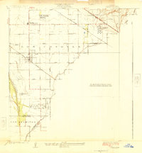
1925 Map of Artesia
USGS Topo · Published 1925About this map
Artesia serves as the focal point of this Southern California landscape during a period of burgeoning infrastructure and agricultural development. The map reveals an intricate network of transportation, where the Pacific Electric and Southern Pacific lines cross the land, supporting local movement and industry. Early petroleum infrastructure is evident at the C G Julian Tank Farm and the Standard Oil Pumping Sta, highlighting the region's historical role in oil storage and transit.
Find a feature on this map
26 named features on this map. Tap any name to fly to it.
Don’t see what you’re looking for? This feature index may not catch every label — zoom into the map to look around manually.
Map Details
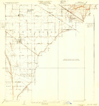
Editions of this 1925 Artesia Map
2 editions found
Other maps of this area

1896 · Anaheim
USGS Topo · 1:62,500

1896 · Downey
USGS Topo · 1:62,500

1898 · Anaheim
USGS Topo · 1:62,500

1899 · Downey
USGS Topo · 1:62,500

1901 · Southern California Sheet No. 1
USGS Topo · 1:250,000

1901 · Anaheim
USGS Topo · 1:62,500

1902 · Downey
USGS Topo · 1:62,500

1902 · Corona
USGS Topo · 1:125,000

1904 · Southern California Sheet No. 1
USGS Topo · 1:250,000
1923 · Bell
USGS Topo · 1:24,000