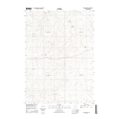
2015 Map of Artesian Draw
USGS Topo · Published 2015About this map
The historical Bozeman Trl cuts across this high plains landscape, marking a legacy of westward migration through Campbell County. This corridor of transit is supported by vital water sources like Emigrant Spring and Von Burg Spring, which were essential for travelers and early homesteaders in an otherwise arid environment. The map reveals a complex network of drainage features, including the eponymous Artesian Draw and Fletcher Canyon, illustrating how the land's hydrology dictated movement and settlement patterns.
Find a feature on this map
22 named features on this map. Tap any name to fly to it.
Don’t see what you’re looking for? This feature index may not catch every label — zoom into the map to look around manually.
Map Details
Editions of this 2015 Artesian Draw Map
This is the sole edition of this map. No revisions or reprints were ever made.
Other maps of this area

1953 · Dry Fork Ranch
USGS Topo · 1:24,000

1953 · South Butte
USGS Topo · 1:24,000

1953 · Rolling Pin Ranch
USGS Topo · 1:24,000

1954 · Artesian Draw
USGS Topo · 1:24,000

1954 · Pine Tree
USGS Topo · 1:24,000

1954 · Taylor Ranch
USGS Topo · 1:24,000

1955 · Newcastle
USGS Topo · 1:250,000

1955 · Arminto
USGS Topo · 1:250,000

1958 · Arminto
USGS Topo · 1:250,000

1958 · Newcastle
USGS Topo · 1:250,000