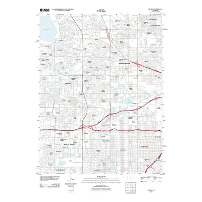
2011 Map of Arvada
USGS Topo · Published 2011About this map
Arvada and the surrounding suburban expansion of the northern Denver metro area are captured here at a time of dense residential development. The landscape is defined by an intricate network of water management, with historical infrastructure like the Niver Canal, Allen Ditch, and Rocky Mountain Ditch weaving through established neighborhoods. Significant green spaces and water bodies, including Standley Lake and its associated Standley Lake Dam, provide a counterpoint to the street grids of Wheat Ridge and Lakewood. Educational and communal landmarks are prominent, from the campus of Regis University to the expansive grounds of Crown Hill Cemetery. The map reveals the character of varied subdivisions such as Sierra Estates and Columbine Acres, illustrating the late-century transition of former agricultural land into a complex suburban fabric punctuated by local golf courses and numerous small reservoirs like Lake Rhoda and Hidden Lake.
Find a feature on this map
125 named features on this map. Tap any name to fly to it.
Don’t see what you’re looking for? This feature index may not catch every label — zoom into the map to look around manually.
Map Details
Editions of this 2011 Arvada Map
This is the sole edition of this map. No revisions or reprints were ever made.
Other maps of this area

1890 · East Denver
USGS Topo · 1:125,000

1899 · West Denver
USGS Topo · 1:125,000

1935 · East Denver Nos. 3 and 4
USGS Topo · 1:48,000

1938 · Morrison
USGS Topo · 1:24,000

1938 · Derby
USGS Topo · 1:24,000

1939 · Golden
USGS Topo · 1:24,000

1940 · Englewood
USGS Topo · 1:31,680

1940 · Eastlake
USGS Topo · 1:31,680

1940 · Lafayette
USGS Topo · 1:31,680

1940 · Derby
USGS Topo · 1:31,680