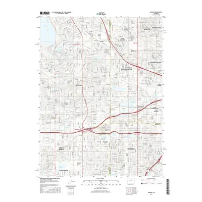
2016 Map of Arvada
USGS Topo · Published 2016About this map
The suburban expansion north and west of Denver is documented in this 2016 survey, revealing a landscape defined by an intricate network of irrigation ditches and water management. Significant water bodies like Standley Lake and Lake Arbor anchor the residential developments of Arvada and Westminster. The map highlights several educational and religious institutions, including Regis Univ and the Belleview Christian Coll and Bible Seminary, which stand alongside historical markers of the area's growth. For genealogists and local historians, the inclusion of the Arvada Cem and the Olinger Crown Hill Mortuary and Cem provides specific points for family research. The transit infrastructure is dominated by the BNSF Railway and major thoroughfares, while landmarks like Inspiration Point offer geographic perspective on the transition between the urban core and the residential suburbs.
Find a feature on this map
170 named features on this map. Tap any name to fly to it.
Don’t see what you’re looking for? This feature index may not catch every label — zoom into the map to look around manually.
Map Details
Editions of this 2016 Arvada Map
This is the sole edition of this map. No revisions or reprints were ever made.
Other maps of this area

1890 · East Denver
USGS Topo · 1:125,000

1899 · West Denver
USGS Topo · 1:125,000

1935 · East Denver Nos. 3 and 4
USGS Topo · 1:48,000

1938 · Morrison
USGS Topo · 1:24,000

1938 · Derby
USGS Topo · 1:24,000

1939 · Golden
USGS Topo · 1:24,000

1940 · Englewood
USGS Topo · 1:31,680

1940 · Eastlake
USGS Topo · 1:31,680

1940 · Lafayette
USGS Topo · 1:31,680

1940 · Derby
USGS Topo · 1:31,680