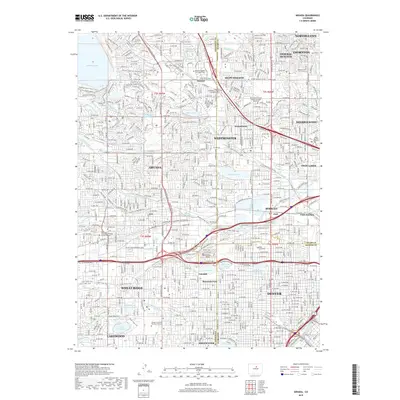
2019 Map of Arvada
USGS Topo · Published 2019About this map
Arvada and its neighboring municipalities occupy a landscape defined by an intricate network of water management, where historic irrigation routes like the Farmers High Line Canal and Croke Canal run alongside modern suburban expansion. The western edge is anchored by the significant waters of Standley Lake, while the southern reaches contain the expansive grounds of the Olinger Crown Hill Mortuary and Cem and the waters of Crown Hill Lake. Educational institutions are prominent across the quadrangle, from Regis University in the southeast to the Red Rocks Community College Arvada Campus. A legacy of earlier transportation is visible in the W 51st Ave Interurban Trail, while the eastern industrial and rail corridor near Utah Junction provides a contrast to the residential patterns of Wheat Ridge and Sherrelwood.
Find a feature on this map
90 named features on this map. Tap any name to fly to it.
Don’t see what you’re looking for? This feature index may not catch every label — zoom into the map to look around manually.
Map Details
Editions of this 2019 Arvada Map
This is the sole edition of this map. No revisions or reprints were ever made.
Other maps of this area

1890 · East Denver
USGS Topo · 1:125,000

1899 · West Denver
USGS Topo · 1:125,000

1935 · East Denver Nos. 3 and 4
USGS Topo · 1:48,000

1938 · Morrison
USGS Topo · 1:24,000

1938 · Derby
USGS Topo · 1:24,000

1939 · Golden
USGS Topo · 1:24,000

1940 · Englewood
USGS Topo · 1:31,680

1940 · Eastlake
USGS Topo · 1:31,680

1940 · Lafayette
USGS Topo · 1:31,680

1940 · Derby
USGS Topo · 1:31,680