
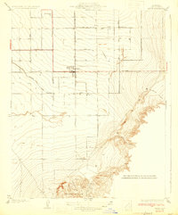
1933 Map of Arvin
USGS Topo · Published 1933About this map
Arvin serves as the central hub of this agricultural landscape in the early 1930s, surrounded by a precise grid of irrigation and transport infrastructure. The map illustrates a highly organized rural economy, where Eastside Canal and arterial routes like Bear Mtn Boulevard and Sunset Road facilitate the movement of goods from outlying settlements such as Vaccaro and Di Giorgio. This era represents a significant phase of development in the southern San Joaquin Valley, where the transition from the flat agricultural plains to the rising elevations of the Tejon Hills is clearly marked.
Find a feature on this map
27 named features on this map. Tap any name to fly to it.
Don’t see what you’re looking for? This feature index may not catch every label — zoom into the map to look around manually.
Map Details
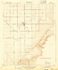
Editions of this 1933 Arvin Map
3 editions found
Other maps of this area

1914 · Caliente
USGS Topo · 1:125,000

1929 · Bena
USGS Topo · 1:31,680

1929 · Fairfax School
USGS Topo · 1:31,680

1930 · Weed Patch
USGS Topo · 1:31,680

1930 · Bear Mountain
USGS Topo · 1:31,680

1930 · Arvin
USGS Topo · 1:31,680

1931 · West of Tejon Hills
USGS Topo · 1:31,680

1931 · Edison
USGS Topo · 1:31,680

1931 · Tejon Hills
USGS Topo · 1:31,680

1932 · Bena
USGS Topo · 1:31,680