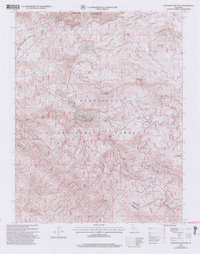
2001 Map of Ascension Mountain
USGS Topo · Published 2004About this map
Stanislaus National Forest and the northwestern edge of Yosemite National Park meet in this 2001 revision, which highlights the rugged topography where the Tuolumne River and its Middle Fork carve through the Sierra Nevada foothills. The map documents the localized human activity near Harden Flat, including the seasonal community at Camp Tawonga and the Sawmill Quarry on the slopes of Sawmill Mountain. High peaks like Ascension Mountain, Bear Mountain, and Pilot Peak anchor the terrain, while meadows such as Jones Meadow and Crocker Meadow offer rare level ground. This survey reflects the region's 20th-century management as a shared resource for timber, recreation, and watershed protection, showing the established route of Harden Road as it skirts the Tuolumne and Mariposa county line.
Find a feature on this map
22 named features on this map. Tap any name to fly to it.
Don’t see what you’re looking for? This feature index may not catch every label — zoom into the map to look around manually.
Map Details
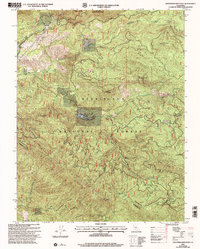
Editions of this 2001 Ascension Mountain Map
2 editions found
Other maps of this area

1893 · Sonora
USGS Topo · 1:125,000

1896 · Sonora
USGS Topo · 1:125,000

1897 · Sonora
USGS Topo · 1:125,000

1897 · Yosemite
USGS Topo · 1:125,000

1898 · Sonora
USGS Topo · 1:125,000

1900 · Yosemite
USGS Topo · 1:125,000

1903 · Yosemite
USGS Topo · 1:125,000

1909 · Yosemite
USGS Topo · 1:125,000

1947 · El Portal
USGS Topo · 1:24,000

1947 · San Jose
USGS Topo · 1:250,000