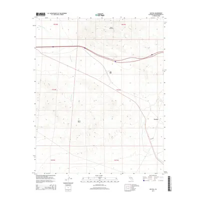
2015 Map of Ash Hill
USGS Topo · Published 2015About this map
Ash Hill sits as a critical waypoint within the Mojave Desert, marking a high point in the local topography where the desert floor meets the southern reaches of the Bristol Mountains. This 2015 survey captures a landscape defined by expansive drainage patterns, most notably the seasonal course of Broadwell Wash which cuts through the arid terrain. The settlement pattern is sparse, reflecting the challenging environment of San Bernardino County, with Klondike and its namesake Klondike Rd serving as the primary markers of human presence along the transport corridor. The map illustrates the stark intersection of natural landforms and the infrastructure required to traverse this stretch of California, providing a detailed view of section lines and township boundaries like t7n r9e and t8n r9e that organize this open space.
Find a feature on this map
12 named features on this map. Tap any name to fly to it.
Don’t see what you’re looking for? This feature index may not catch every label — zoom into the map to look around manually.
Map Details
Editions of this 2015 Ash Hill Map
This is the sole edition of this map. No revisions or reprints were ever made.
Other maps of this area

1942 · Amboy
USGS Topo · 1:250,000

1943 · Amboy
USGS Topo · 1:250,000

1953 · San Bernardino
USGS Topo · 1:250,000

1954 · Needles
USGS Topo · 1:250,000

1954 · Bagdad SW
USGS Topo · 1:24,000

1954 · Ludlow SE
USGS Topo · 1:24,000

1955 · Ludlow
USGS Topo · 1:24,000

1955 · Morgans Well
USGS Topo · 1:24,000

1955 · Ash Hill
USGS Topo · 1:24,000

1955 · Broadwell Lake
USGS Topo · 1:62,500