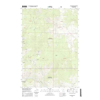
2017 Map of Ash Mountain
USGS Topo · Published 2017About this map
Jardine sits on the western edge of this Montana landscape, where the Jardine Cem and Mineral Hill mark a historical pocket of human presence at the threshold of the wilderness. This area serves as a rugged interface between the Gallatin National Forest and Yellowstone National Park, defined by the dramatic descent into the Black Canyon of the Yellowstone. The southern portion of the map is dominated by the course of the Yellowstone River, featuring Knowles Falls and the secluded Crevice Lake.
Find a feature on this map
39 named features on this map. Tap any name to fly to it.
Don’t see what you’re looking for? This feature index may not catch every label — zoom into the map to look around manually.
Map Details
Editions of this 2017 Ash Mountain Map
This is the sole edition of this map. No revisions or reprints were ever made.
Other maps of this area

1885 · Gallatin
USGS Topo · 1:125,000

1885 · Gallatin
USGS Topo · 1:125,000

1886 · Canyon
USGS Topo · 1:125,000

1891 · Livingston
USGS Topo · 1:250,000

1893 · Livingston
USGS Topo · 1:250,000

1895 · Canyon
USGS Topo · 1:125,000

1896 · Canyon
USGS Topo · 1:125,000

1901 · Canyon
USGS Topo · 1:125,000

1901 · Gallatin
USGS Topo · 1:125,000

1907 · Canyon
USGS Topo · 1:125,000