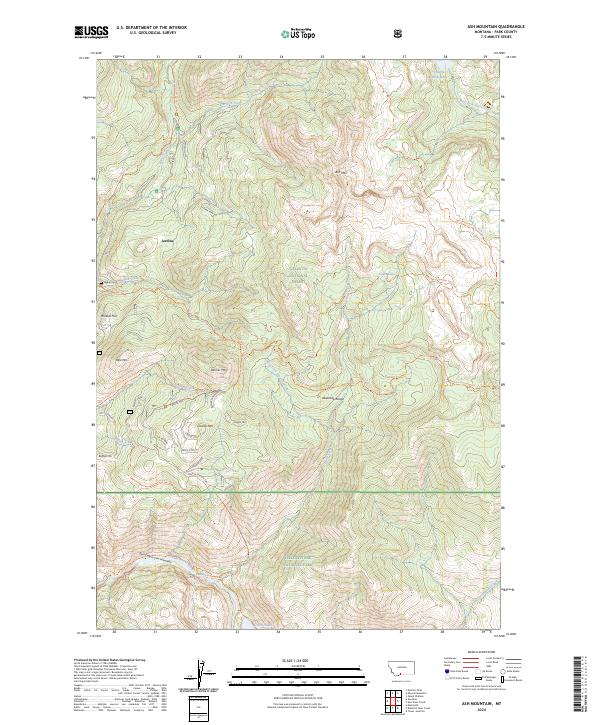
2024 Map of Ash Mountain
USGS Topo · Published 2024About this map
The mountain settlement of Jardine serves as a focal point for this 2024 map, situated at the boundary of massive federal lands in Park County. The map details a landscape where historic mining activity and modern wilderness conservation meet, featuring the Jardine Cem and Mineral Hill just north of the Yellowstone National Park border. This area is defined by its dramatic elevation changes, from the depths of the Black Canyon of the Yellowstone to the summits of Ash Mountain and Crevice Mtn.
Find a feature on this map
70 named features on this map. Tap any name to fly to it.
Don’t see what you’re looking for? This feature index may not catch every label — zoom into the map to look around manually.
Map Details
Editions of this 2024 Ash Mountain Map
This is the sole edition of this map. No revisions or reprints were ever made.
Other maps of this area

1885 · Gallatin
USGS Topo · 1:125,000

1885 · Gallatin
USGS Topo · 1:125,000

1886 · Canyon
USGS Topo · 1:125,000

1891 · Livingston
USGS Topo · 1:250,000

1893 · Livingston
USGS Topo · 1:250,000

1895 · Canyon
USGS Topo · 1:125,000

1896 · Canyon
USGS Topo · 1:125,000

1901 · Canyon
USGS Topo · 1:125,000

1901 · Gallatin
USGS Topo · 1:125,000

1907 · Canyon
USGS Topo · 1:125,000