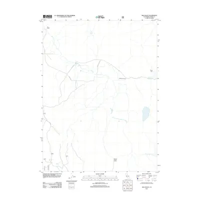
2012 Map of Ash Valley
USGS Topo · Published 2012About this map
Ash Valley defines this high-elevation landscape in Lassen County, where a network of forest roads and ranch tracks connects isolated water sources and seasonal camps. The map traces the essential water infrastructure of the region, including Fleming Spring, Diaz Spring, and Fulstone Spring, which serve as vital points in the arid terrain. The presence of Fleming Sheep Camp in the northeastern corner suggests a continued reliance on traditional grazing lands, while man-made features like Holbrook Reservoir and Spooner Reservoir manage the flow through Holbrook Canyon. Transportation is anchored by Ash Valley Rd and Richelieu Ranch Rd, providing access to the deep cuts of Spooner Trough Canyon and various forest service routes.
Find a feature on this map
17 named features on this map. Tap any name to fly to it.
Don’t see what you’re looking for? This feature index may not catch every label — zoom into the map to look around manually.
Map Details
Editions of this 2012 Ash Valley Map
This is the sole edition of this map. No revisions or reprints were ever made.
Other maps of this area

1886 · Alturas
USGS Topo · 1:250,000

1886 · Honey Lake
USGS Topo · 1:250,000

1891 · Honey Lake
USGS Topo · 1:250,000

1892 · Alturas
USGS Topo · 1:250,000

1893 · Honey Lake
USGS Topo · 1:250,000

1954 · Grasshopper Valley
USGS Topo · 1:62,500

1954 · Alturas
USGS Topo · 1:250,000

1955 · Westwood
USGS Topo · 1:250,000

1956 · Hayden Hill
USGS Topo · 1:62,500

1958 · Alturas
USGS Topo · 1:250,000