
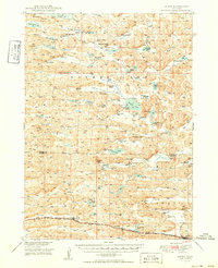
1949 Map of Ashby
USGS Topo · Published 1949About this map
Family-named ranches and a sprawling network of sandhill lakes define this mid-century portrait of Cherry and Grant counties. The landscape is dominated by the Chicago Burlington and Quincy railroad, which anchors the southern corridor between the small rail-side communities of Ashby and Hyannis. The geography reveals a ranching economy organized around naturally occurring basins, with Hospital Valley, Camp Valley, and Brown Valley providing sheltered lowlands among the dunes.
Find a feature on this map
49 named features on this map. Tap any name to fly to it.
Don’t see what you’re looking for? This feature index may not catch every label — zoom into the map to look around manually.
Map Details
Editions of this 1949 Ashby Map
3 editions found
Other maps of this area

1948 · Ashby
USGS Topo · 1:62,500

1948 · Bingham
USGS Topo · 1:62,500

1948 · Spade Ranch
USGS Topo · 1:62,500

1948 · George Lake
USGS Topo · 1:62,500

1948 · Whitman
USGS Topo · 1:62,500

1948 · Spring Valley
USGS Topo · 1:62,500

1949 · Steverson Lake
USGS Topo · 1:62,500

1949 · Turpin Lake
USGS Topo · 1:62,500

1950 · Spring Valley
USGS Topo · 1:62,500

1950 · Whitman
USGS Topo · 1:62,500