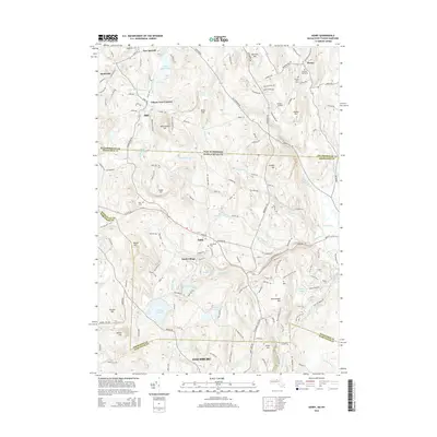
2015 Map of Ashby
USGS Topo · Published 2015About this map
Ashby serves as the central hub of this northern Massachusetts landscape, situated just south of the state line where the terrain transitions into New Hampshire. The area is defined by a dense network of water bodies and minor peaks, from Loom Pond and Hoar Pond in the north to the larger Fitchburg Reservoir and Ashby Reservoir near the southern boundary. These water resources, coupled with the numerous brooks like Trapfall Brook and Willard Brook, suggest a history tied to the local watersheds.
Find a feature on this map
147 named features on this map. Tap any name to fly to it.
Don’t see what you’re looking for? This feature index may not catch every label — zoom into the map to look around manually.
Map Details
Editions of this 2015 Ashby Map
This is the sole edition of this map. No revisions or reprints were ever made.
Other maps of this area

1887 · Fitchburg
USGS Topo · 1:62,500

1889 · Fitchburg
USGS Topo · 1:62,500

1893 · Fitchburg
USGS Topo · 1:62,500

1893 · Groton
USGS Topo · 1:62,500

1900 · Peterboro
USGS Topo · 1:62,500

1906 · Milford
USGS Topo · 1:62,500

1931 · Groton
USGS Topo · 1:48,000

1931 · Fitchburg
USGS Topo · 1:48,000

1935 · Groton
USGS Topo · 1:62,500

1935 · Fitchburg
USGS Topo · 1:62,500