
1935 Map of Fitchburg
USGS Topo · Published 1935About this map
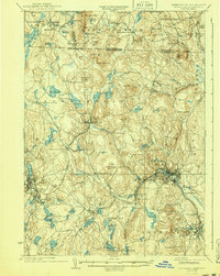
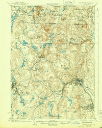
Industrial hubs and steep New England topography define this 1930s survey of the borderlands between Massachusetts and New Hampshire. The city of Fitchburg sits at a major rail junction, where the Fitchburg Railroad meets the Old Colony Railroad, surrounded by prominent heights like Rollstone Hill. The landscape to the north and west transitions into a network of upland ponds and villages, including Ashburnham and Greenville. This era captures a complex transportation network of the Boston and Maine Railroad and the Cheshire Railroad serving scattered mill towns and rural stations. Local landmarks such as Meeting House Pond and School No 8 near Mason provide specific points of interest for genealogical research, while the numerous reservoirs like Bancroft Reservoir and Lower Naukeag illustrate the region's managed water resources during the mid-20th century.
Find a feature on this map
125 named features on this map. Tap any name to fly to it.
Don’t see what you’re looking for? This feature index may not catch every label — zoom into the map to look around manually.
Map Details
Editions of this 1935 Fitchburg Map
3 editions found
Other maps of this area

1885 · Worcester
USGS Topo · 1:62,500

1886 · Worcester
USGS Topo · 1:62,500

1887 · Winchendon
USGS Topo · 1:62,500

1887 · Marlboro
USGS Topo · 1:62,500

1887 · Barre
USGS Topo · 1:62,500

1887 · Fitchburg
USGS Topo · 1:62,500

1889 · Marlboro
USGS Topo · 1:62,500

1889 · Fitchburg
USGS Topo · 1:62,500

1889 · Barre
USGS Topo · 1:62,500

1890 · Winchendon
USGS Topo · 1:62,500