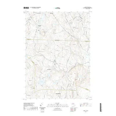
2021 Map of Ashby
USGS Topo · Published 2021About this map
Ashby serves as the focal point of this northern Massachusetts landscape, situated just south of the New Hampshire Massachusetts state line. The town's historical roots are visible through sites like the Ashby First Parish Burial Ground and Glenwood Cem, while the surrounding terrain is defined by a series of prominent elevations including Whittemore Hill, Blood Hill, and Rattlesnake Hill. This 2021 survey reveals a landscape where old settlements like South Village and Gibson Four Corners persist alongside significant water resources such as the Fitchburg Reservoir and the W Br Souhegan River.
Find a feature on this map
48 named features on this map. Tap any name to fly to it.
Don’t see what you’re looking for? This feature index may not catch every label — zoom into the map to look around manually.
Map Details
Editions of this 2021 Ashby Map
This is the sole edition of this map. No revisions or reprints were ever made.
Other maps of this area

1887 · Fitchburg
USGS Topo · 1:62,500

1889 · Fitchburg
USGS Topo · 1:62,500

1893 · Fitchburg
USGS Topo · 1:62,500

1893 · Groton
USGS Topo · 1:62,500

1900 · Peterboro
USGS Topo · 1:62,500

1906 · Milford
USGS Topo · 1:62,500

1931 · Groton
USGS Topo · 1:48,000

1931 · Fitchburg
USGS Topo · 1:48,000

1935 · Groton
USGS Topo · 1:62,500

1935 · Fitchburg
USGS Topo · 1:62,500