Loading...
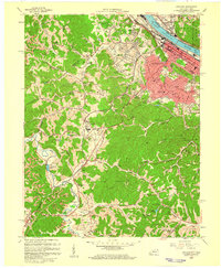
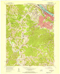
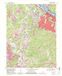
Loading map...1958 Map of Ashland
USGS Topo · Published 1959About this map
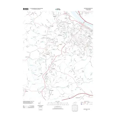
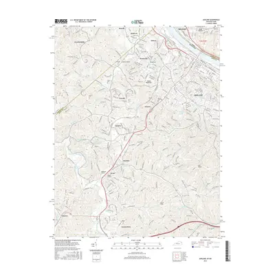
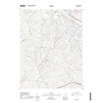
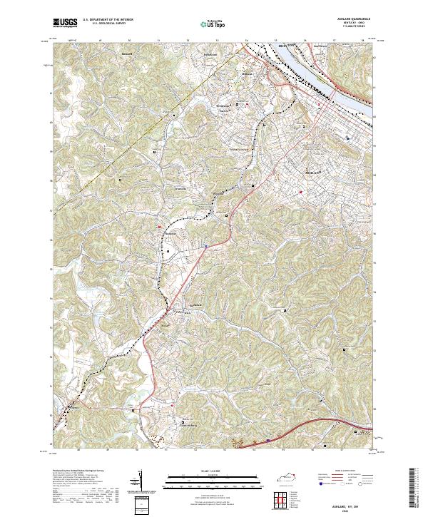
Industrial expansion and institutional development characterize the Ashland area in the late 1950s, where the Ohio River corridor bustles with the activity of the Chesapeake and Ohio and Norfolk and Western railroads. The map captures a transition from the dense urban grid of the riverfront to the specialized facilities on the periphery, such as the Tuberculosis Sanatorium and the Federal Correctional Institution near Summit.
Find a feature on this map
71 named features on this map. Tap any name to fly to it.
Don’t see what you’re looking for? This feature index may not catch every label — zoom into the map to look around manually.
Map Details
Date Portrayed1958
Date Published1959
PublisherU.S. Geological Survey
Map TypeTopographic
Scale1:24,000
Physical Dimensions22.6 x 27.5 inches
Editions of this 1958 Ashland Map
This is the sole edition of this map. No revisions or reprints were ever made.
Historical Maps of Ashland Through Time
8 maps found
Featured Locations
Source Details
SourceU.S. Geological Survey
CopyrightPublic Domain