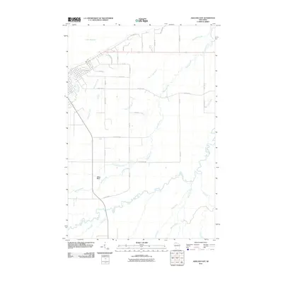
2010 Map of Ashland East
USGS Topo · Published 2010About this map
Lake Superior dominates the northern horizon of this coastal Wisconsin landscape, where the urban edge of Ashland meets a complex network of wetlands and river systems. The White River winds across the southern reaches of the quadrangle, joined by numerous tributaries including Hyms Creek, Deer Creek, and Rock Creek. This hydrological pattern is characteristic of the Lake Superior Lowlands, where water moves through low-lying areas like Wood Creek Slough and the Kakagon River toward the bay.
Find a feature on this map
37 named features on this map. Tap any name to fly to it.
Don’t see what you’re looking for? This feature index may not catch every label — zoom into the map to look around manually.
Map Details
Editions of this 2010 Ashland East Map
This is the sole edition of this map. No revisions or reprints were ever made.
Other maps of this area

1942 · Ashland
USGS Topo · 1:48,000

1942 · Mellen
USGS Topo · 1:48,000

1942 · Marengo
USGS Topo · 1:48,000

1943 · Odanah
USGS Topo · 1:48,000

1945 · Odanah
USGS Topo · 1:48,000

1945 · Marengo
USGS Topo · 1:48,000

1945 · Mellen
USGS Topo · 1:48,000

1947 · Ashland
USGS Topo · 1:48,000

1953 · Ashland
USGS Topo · 1:250,000

1958 · Ashland
USGS Topo · 1:250,000