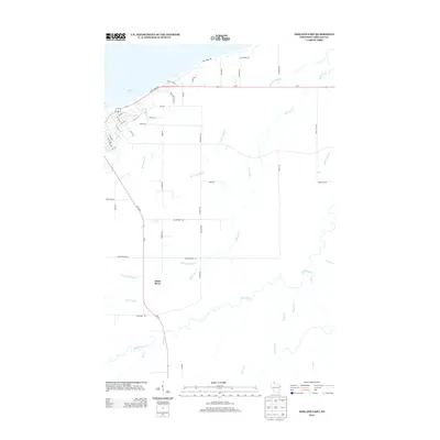
2013 Map of Ashland East
USGS Topo · Published 2013About this map
Lake Superior defines the northern edge of this Wisconsin shoreline, where the eastern reaches of Ashland meet a complex drainage system of creeks and sloughs. The landscape is characterized by the convergence of several significant water bodies, including the White River and the Kakagon River, which meander through the southern and eastern portions of the map. Residential and commercial development is concentrated along the western edge, with street grids like 22nd Ave E and Knight Rd transitioning into more industrial areas near Industrial Park Rd.
Find a feature on this map
56 named features on this map. Tap any name to fly to it.
Don’t see what you’re looking for? This feature index may not catch every label — zoom into the map to look around manually.
Map Details
Editions of this 2013 Ashland East Map
This is the sole edition of this map. No revisions or reprints were ever made.
Other maps of this area

1942 · Ashland
USGS Topo · 1:48,000

1942 · Mellen
USGS Topo · 1:48,000

1942 · Marengo
USGS Topo · 1:48,000

1943 · Odanah
USGS Topo · 1:48,000

1945 · Odanah
USGS Topo · 1:48,000

1945 · Marengo
USGS Topo · 1:48,000

1945 · Mellen
USGS Topo · 1:48,000

1947 · Ashland
USGS Topo · 1:48,000

1953 · Ashland
USGS Topo · 1:250,000

1958 · Ashland
USGS Topo · 1:250,000