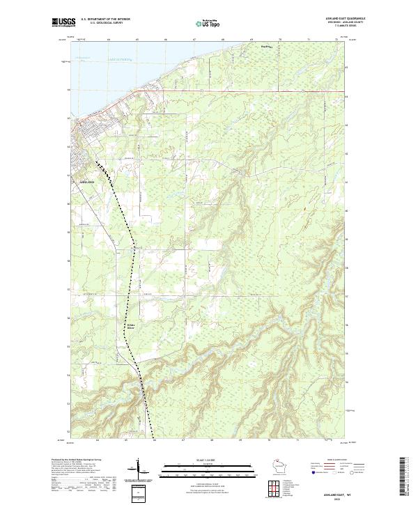
2022 Map of Ashland East
USGS Topo · Published 2022About this map
The port city of Ashland sits at the southwestern edge of Lake Superior, where the urban grid meets the waters of Chequamegon Bay. This map reveals a complex landscape defined by the drainage of the White River and its numerous tributaries, which carve through the terrain south of the city. The shoreline area around Bayfront contrasts the industrial history of the lakefront with the natural wetland systems found to the east along the Kakagon River.
Find a feature on this map
78 named features on this map. Tap any name to fly to it.
Don’t see what you’re looking for? This feature index may not catch every label — zoom into the map to look around manually.
Map Details
Editions of this 2022 Ashland East Map
This is the sole edition of this map. No revisions or reprints were ever made.
Other maps of this area

1942 · Ashland
USGS Topo · 1:48,000

1942 · Mellen
USGS Topo · 1:48,000

1942 · Marengo
USGS Topo · 1:48,000

1943 · Odanah
USGS Topo · 1:48,000

1945 · Odanah
USGS Topo · 1:48,000

1945 · Marengo
USGS Topo · 1:48,000

1945 · Mellen
USGS Topo · 1:48,000

1947 · Ashland
USGS Topo · 1:48,000

1953 · Ashland
USGS Topo · 1:250,000

1958 · Ashland
USGS Topo · 1:250,000