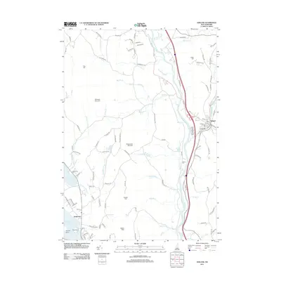
2012 Map of Ashland
USGS Topo · Published 2012About this map
The Pemigewasset River carves a deep valley through this Central New Hampshire landscape, serving as a primary corridor for modern travel and historical drainage. On the eastern bank, the village of Ashland sits at the junction of the Squam River and the larger Pemigewasset, with its dense network of local streets like Glove St and Mill St reflecting a long-standing industrial and residential center. The western side of the river is dominated by the massive landforms of Plymouth Mountain, Bridgewater Mountain, and Bristol Peak, which separate the river valley from the shores of Newfound Lake.
Find a feature on this map
107 named features on this map. Tap any name to fly to it.
Don’t see what you’re looking for? This feature index may not catch every label — zoom into the map to look around manually.
Map Details
Editions of this 2012 Ashland Map
This is the sole edition of this map. No revisions or reprints were ever made.
Other maps of this area

1925 · Holderness
USGS Topo · 1:62,500

1927 · Holderness
USGS Topo · 1:62,500

1927 · Cardigan
USGS Topo · 1:62,500

1928 · Plymouth
USGS Topo · 1:62,500

1928 · Rumney
USGS Topo · 1:62,500

1930 · Cardigan
USGS Topo · 1:62,500

1931 · Plymouth
USGS Topo · 1:62,500

1932 · Rumney
USGS Topo · 1:62,500

1949 · Portland
USGS Topo · 1:250,000

1956 · Cardigan
USGS Topo · 1:62,500