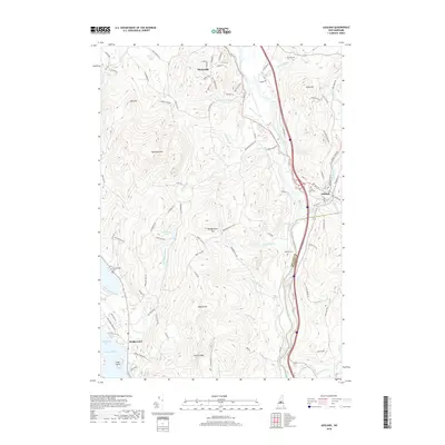
2018 Map of Ashland
USGS Topo · Published 2018About this map
Plymouth and Ashland anchor the northern and eastern reaches of this central New Hampshire landscape, where the confluence of the Pemigewasset River and the Squam River historically shaped local settlement. The terrain is defined by prominent peaks, including Plymouth Mtn and Bridgewater Mtn, while the southwestern corner touches the shores of Newfound Lake at Pasquaney Bay. This area illustrates a typical New England mix of compact village centers and upland homesteads linked by an intricate network of local roads like Old Stagecoach Rd and Texas Hill Rd.
Find a feature on this map
102 named features on this map. Tap any name to fly to it.
Don’t see what you’re looking for? This feature index may not catch every label — zoom into the map to look around manually.
Map Details
Editions of this 2018 Ashland Map
This is the sole edition of this map. No revisions or reprints were ever made.
Other maps of this area

1925 · Holderness
USGS Topo · 1:62,500

1927 · Holderness
USGS Topo · 1:62,500

1927 · Cardigan
USGS Topo · 1:62,500

1928 · Plymouth
USGS Topo · 1:62,500

1928 · Rumney
USGS Topo · 1:62,500

1930 · Cardigan
USGS Topo · 1:62,500

1931 · Plymouth
USGS Topo · 1:62,500

1932 · Rumney
USGS Topo · 1:62,500

1949 · Portland
USGS Topo · 1:250,000

1956 · Cardigan
USGS Topo · 1:62,500