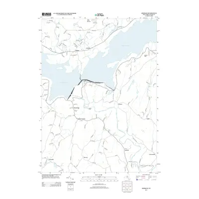
2013 Map of Ashokan
USGS Topo · Published 2013About this map
The Ashokan Reservoir dominates this Catskill region landscape, serving as a defining piece of New York’s water infrastructure. The map details the complex engineering surrounding the basin, including the Ashokan Reservoir Aerator and the Ashokan Bridge. Surrounding the water, a network of rural hamlets remains active, from Shokan and Ashokan on the northern shore to Olivebridge and Davis Corners to the south. These settlements are connected by numerous local roads and lanes, many bearing family names that provide clues for genealogical research.
Find a feature on this map
113 named features on this map. Tap any name to fly to it.
Don’t see what you’re looking for? This feature index may not catch every label — zoom into the map to look around manually.
Map Details
Editions of this 2013 Ashokan Map
This is the sole edition of this map. No revisions or reprints were ever made.
Other maps of this area

1892 · Kaaterskill
USGS Topo · 1:62,500

1893 · Kaaterskill
USGS Topo · 1:62,500

1894 · Kaaterskill
USGS Topo · 1:62,500

1899 · Kaaterskill
USGS Topo · 1:62,500

1900 · Phoenicia
USGS Topo · 1:62,500

1901 · Rosendale
USGS Topo · 1:62,500

1903 · Rosendale
USGS Topo · 1:62,500

1903 · Phoenicia
USGS Topo · 1:62,500

1903 · Kaaterskill
USGS Topo · 1:62,500

1903 · Slide Mountain
USGS Topo · 1:62,500