2016 Map of Ashokan
USGS Topo · Published 2016About this map
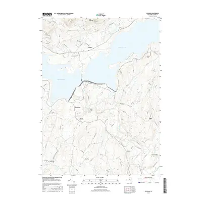
Ashokan Reservoir dominates the landscape of this Ulster County region, illustrating the massive scale of the water system that serves New York City. The reservoir’s irregular shoreline divides the terrain, with the Ashokan Bridge providing a critical connection between the northern and southern banks. To the north, the settlements of Shokan and Ashokan sit at the base of the Catskill foothills, while Olivebridge and Davis Corners anchor the community south of the water. For genealogists and local historians, the Tongore Cem near Olivebridge offers a connection to the area's earlier generations. The landscape transitions from the high elevations of Little Tonshi Mtn in the northwest to the lowlands along Esopus Creek and Stony Cr in the southeast, where hamlets like Atwood and Lomontville are located. This survey reflects the modern configuration of a valley once redefined by the flooding of towns to create the reservoir system.
Find a feature on this map
93 named features on this map. Tap any name to fly to it.
Don’t see what you’re looking for? This feature index may not catch every label — zoom into the map to look around manually.
Map Details
Editions of this 2016 Ashokan Map
This is the sole edition of this map. No revisions or reprints were ever made.
Other maps of this area

1892 · Kaaterskill
USGS Topo · 1:62,500

1893 · Kaaterskill
USGS Topo · 1:62,500

1894 · Kaaterskill
USGS Topo · 1:62,500

1899 · Kaaterskill
USGS Topo · 1:62,500

1900 · Phoenicia
USGS Topo · 1:62,500

1901 · Rosendale
USGS Topo · 1:62,500

1903 · Rosendale
USGS Topo · 1:62,500

1903 · Phoenicia
USGS Topo · 1:62,500

1903 · Kaaterskill
USGS Topo · 1:62,500

1903 · Slide Mountain
USGS Topo · 1:62,500