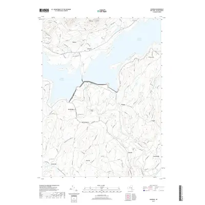
2019 Map of Ashokan
USGS Topo · Published 2019About this map
Ashokan Reservoir West Basin and the Ashokan Reservoir East Basin dominate this portion of the Catskills, divided by the prominent Ashokan Bridge. The landscape reflects the significant 20th-century engineering that transformed the Esopus Valley into a primary water source for New York City, with settlements like Shokan and Ashokan situated along the northern shores. To the south, the terrain descends into a network of smaller communities and rural crossroads, including Olivebridge, Atwood, and Krumville. Genealogists will find the Tongore Cem near Davis Corners and the Krumville Cem to the southwest, preserving the memory of local families in a region defined by its reservoirs and ridges. The map traces numerous watercourses feeding the basins or draining the surrounding highlands, such as Esopus Creek, Butternut Cr, and Peters Kill, alongside named heights like Little Tonshi Mtn.
Find a feature on this map
97 named features on this map. Tap any name to fly to it.
Don’t see what you’re looking for? This feature index may not catch every label — zoom into the map to look around manually.
Map Details
Editions of this 2019 Ashokan Map
This is the sole edition of this map. No revisions or reprints were ever made.
Other maps of this area

1892 · Kaaterskill
USGS Topo · 1:62,500

1893 · Kaaterskill
USGS Topo · 1:62,500

1894 · Kaaterskill
USGS Topo · 1:62,500

1899 · Kaaterskill
USGS Topo · 1:62,500

1900 · Phoenicia
USGS Topo · 1:62,500

1901 · Rosendale
USGS Topo · 1:62,500

1903 · Rosendale
USGS Topo · 1:62,500

1903 · Phoenicia
USGS Topo · 1:62,500

1903 · Kaaterskill
USGS Topo · 1:62,500

1903 · Slide Mountain
USGS Topo · 1:62,500