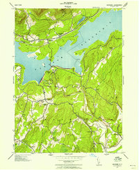
1942 Map of Ashokan
USGS Topo · Published 1958About this map
Ashokan Reservoir dominates this wartime landscape in Ulster County, where the massive Ashokan Dam restrains the waters of Esopus Creek. This survey, compiled from aerial photography by Fairchild Aerial Surveys for the War Department, shows the infrastructure of the New York City water supply alongside the rural mountain communities that survived its construction. The New York Central railroad tracks skirt the northern shore, connecting the settlements of Shokan and Ashokan. To the south, the map details a network of local roads and community landmarks such as Vly Church, Acorn Hill Chapel, and several local schools like the Atwood School and Olive Bridge School. The terrain transitions from the steep southern slopes of the Catskill Mountains to the lower-lying settlements of Lomontville and Atwood, revealing a mid-century pattern of upland farms and small creek-side hamlets.
Find a feature on this map
41 named features on this map. Tap any name to fly to it.
Don’t see what you’re looking for? This feature index may not catch every label — zoom into the map to look around manually.
Map Details
Editions of this 1942 Ashokan Map
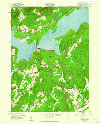
2 editions found
Other maps of this area

1892 · Kaaterskill
USGS Topo · 1:62,500

1893 · Kaaterskill
USGS Topo · 1:62,500

1894 · Kaaterskill
USGS Topo · 1:62,500

1899 · Kaaterskill
USGS Topo · 1:62,500

1900 · Phoenicia
USGS Topo · 1:62,500

1901 · Rosendale
USGS Topo · 1:62,500

1903 · Rosendale
USGS Topo · 1:62,500

1903 · Phoenicia
USGS Topo · 1:62,500

1903 · Kaaterskill
USGS Topo · 1:62,500

1903 · Slide Mountain
USGS Topo · 1:62,500