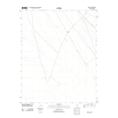
2012 Map of Ashton
USGS Topo · Published 2012About this map
Ashton and its surrounding desert terrain are the focal points of this 2012 survey, which documents a sparsely settled stretch of the Nevada-California border. The ephemeral Amargosa River cuts a braided path across the landscape, illustrating the drainage patterns of this arid region. The map captures the limited human infrastructure of the era, primarily defined by remote transportation routes like Race Track Rd. This edition reflects the area's transition into the 21st century, where large-scale topographical surveying provides a precise digital record of a region that has historically served as a rugged corridor between mountain ranges and salt flats. The absence of dense development highlights the environmental continuity of the Amargosa Valley, where the natural watercourse remains the most prominent geographic feature.
Find a feature on this map
3 named features on this map. Tap any name to fly to it.
Don’t see what you’re looking for? This feature index may not catch every label — zoom into the map to look around manually.
Map Details
Editions of this 2012 Ashton Map
This is the sole edition of this map. No revisions or reprints were ever made.
Other maps of this area

1908 · Furnace Creek
USGS Topo · 1:250,000

1910 · Furnace Creek
USGS Topo · 1:250,000

1942 · Bullfrog
USGS Topo · 1:125,000

1948 · Death Valley
USGS Topo · 1:250,000

1952 · Chloride Cliff
USGS Topo · 1:50,000

1952 · Big Dune
USGS Topo · 1:62,500

1954 · Bare Mtn
USGS Topo · 1:62,500

1954 · Bullfrog
USGS Topo · 1:62,500

1954 · Death Valley
USGS Topo · 1:250,000

1956 · Death Valley
USGS Topo · 1:250,000