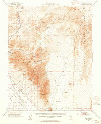
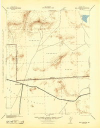
1954 Map of Bare Mtn
USGS Topo · Published 1955About this map
Beatty and the mining camp of Carrara anchor this desert landscape during a period of industrial transition in Nye County. The map documents the remnants of early 20th-century commerce, most notably the Tonopah and Tidewater Railroad (Dismantled) which parallels the Amargosa River. The eastern reaches are defined by the Tonopah Bombing and Gunnery Range Military Reservation Boundary, marking the intersection of traditional mining interests and mid-century military expansion. Prospectors and local historians can trace the numerous workings scattered through Bare Mountain, including the Telluride Mine (Aband), Silicon Mine, and Diamond Queen Mine. The topography is a complex network of desert drainages like Tarantula Canyon and Fluorspar Canyon, while volcanic features such as Red Cone and Black Cone rise from the floor of Crater Flat, providing a detailed record of the region's geological and extractive history.
Find a feature on this map
42 named features on this map. Tap any name to fly to it.
Don’t see what you’re looking for? This feature index may not catch every label — zoom into the map to look around manually.
Map Details
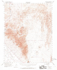
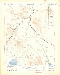
Editions of this 1954 Bare Mtn Map
3 editions found

Other maps of this area

1908 · Kawich
USGS Topo · 1:250,000

1908 · Furnace Creek
USGS Topo · 1:250,000

1910 · Furnace Creek
USGS Topo · 1:250,000
1942 · Tolicha Peak
USGS Topo · 1:125,000
1942 · Wheelbarrow Peak
USGS Topo · 1:125,000
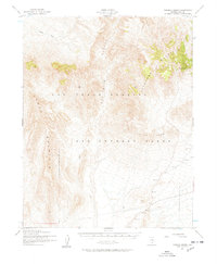
1942 · Skull Mountain
USGS Topo · 1:125,000
1942 · Bullfrog
USGS Topo · 1:125,000

1948 · Death Valley
USGS Topo · 1:250,000
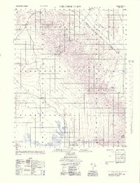
1952 · Chloride Cliff
USGS Topo · 1:50,000
1952 · Topopah Spring
USGS Topo · 1:62,500