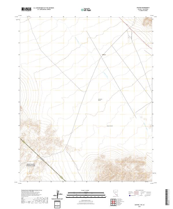
2021 Map of Ashton
USGS Topo · Published 2021About this map
Amargosa River cuts through this arid landscape, marking a vital hydrological feature where the Amargosa Desert meets the northern reaches of the Mojave Desert. The map centers on the small settlement of Ashton, situated at a crossroads in Nye County just north of the California state line. This desert environment is defined by its topographic extremes, transitioning from the broad, flat alluvial basins into the protected wilderness of Death Valley National Park in the southwest corner. The intersection of state and county boundaries, including the line between Nevada and California and the border of Nye and Inyo counties, highlights the remote jurisdictional importance of this high-desert corridor.
Find a feature on this map
13 named features on this map. Tap any name to fly to it.
Don’t see what you’re looking for? This feature index may not catch every label — zoom into the map to look around manually.
Map Details
Editions of this 2021 Ashton Map
This is the sole edition of this map. No revisions or reprints were ever made.
Other maps of this area

1908 · Furnace Creek
USGS Topo · 1:250,000

1910 · Furnace Creek
USGS Topo · 1:250,000

1942 · Bullfrog
USGS Topo · 1:125,000

1948 · Death Valley
USGS Topo · 1:250,000

1952 · Chloride Cliff
USGS Topo · 1:50,000

1952 · Big Dune
USGS Topo · 1:62,500

1954 · Bare Mtn
USGS Topo · 1:62,500

1954 · Bullfrog
USGS Topo · 1:62,500

1954 · Death Valley
USGS Topo · 1:250,000

1956 · Death Valley
USGS Topo · 1:250,000