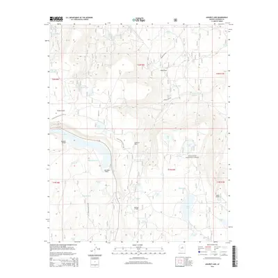
2014 Map of Ashurst Lake
USGS Topo · Published 2014About this map
Coconino National Forest encompasses this high-plateau landscape, where the flat-topped Anderson Mesa drops sharply into Lake Mary Valley. The geography is defined by a series of natural basins and seasonal catchments used for livestock and water management, ranging from the large Upper Lake Mary to smaller features like Potato Lake and Fisher and Fry Lake. The Arizona National Scenic Trail traverses the western portion of the map, following the contours of the mesa edge and passing through Newman Canyon. This 2014 survey documents the network of ranching infrastructure, such as the Winona Ranch Rd and numerous named tanks like Juniper Tank and Mormon Canyon Tank One, which have supported land use in this arid environment for generations.
Find a feature on this map
53 named features on this map. Tap any name to fly to it.
Don’t see what you’re looking for? This feature index may not catch every label — zoom into the map to look around manually.
Map Details
Editions of this 2014 Ashurst Lake Map
This is the sole edition of this map. No revisions or reprints were ever made.
Other maps of this area

1886 · San Francisco Mtns
USGS Topo · 1:250,000

1887 · Verde
USGS Topo · 1:250,000

1891 · San Francisco Mtns
USGS Topo · 1:250,000

1892 · Verde
USGS Topo · 1:250,000

1894 · San Francisco Mtns
USGS Topo · 1:250,000

1899 · San Francisco Mtns
USGS Topo · 1:250,000

1908 · Flagstaff
USGS Topo · 1:125,000

1912 · Flagstaff
USGS Topo · 1:125,000

1923 · Camp Verde
USGS Topo · 1:125,000

1932 · Camp Verde
USGS Topo · 1:125,000