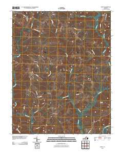
2010 Map of Aspen
USGS Topo · Published 2010About this map
Cub Creek Cemetery and the surrounding rural landscape near the Roanoke River define this corner of Charlotte County during the early 21st century. The terrain is a network of creek drainages, including the prominent Cub Creek, Louse Creek, and Turnip Creek, which dictate the placement of small settlements and agricultural lanes. Small residential clusters like Aspen, Aspenwall, Camptown, and Wren are linked by a web of local roads such as Coles Ferry Rd and Prairie Rd.
Find a feature on this map
26 named features on this map. Tap any name to fly to it.
Don’t see what you’re looking for? This feature index may not catch every label — zoom into the map to look around manually.
Map Details
Editions of this 2010 Aspen Map
This is the sole edition of this map. No revisions or reprints were ever made.
Other maps of this area

1892 · Appomattox
USGS Topo · 1:125,000

1947 · Roanoke
USGS Topo · 1:250,000

1953 · Greensboro
USGS Topo · 1:250,000

1954 · Greensboro
USGS Topo · 1:250,000

1954 · Clover
USGS Topo · 1:62,500

1954 · Halifax
USGS Topo · 1:62,500

1956 · Brookneal
USGS Topo · 1:62,500

1956 · Charlotte Court House
USGS Topo · 1:62,500

1959 · Roanoke
USGS Topo · 1:250,000

1962 · Greensboro
USGS Topo · 1:250,000