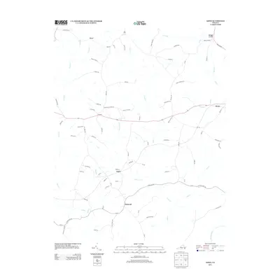
2013 Map of Aspen
USGS Topo · Published 2013About this map
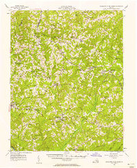
Phenix and Aspenwall anchor this rural stretch of Charlotte County, where the landscape is defined by the winding tributaries that eventually feed the Roanoke River in the southeast. The area is a network of small settlements and family-named routes, including Wren in the north and Camptown along the central corridor. Local history is etched into the road names, which point toward foundational community pillars such as Bethel School Ln, Cub Creek Church Rd, and Trents Cemetery Rd.
Find a feature on this map
79 named features on this map. Tap any name to fly to it.
Don’t see what you’re looking for? This feature index may not catch every label — zoom into the map to look around manually.
Map Details
Editions of this 2013 Aspen Map
This is the sole edition of this map. No revisions or reprints were ever made.
Other maps of this area

1892 · Appomattox
USGS Topo · 1:125,000

1947 · Roanoke
USGS Topo · 1:250,000

1953 · Greensboro
USGS Topo · 1:250,000

1954 · Greensboro
USGS Topo · 1:250,000
1954 · Clover
USGS Topo · 1:62,500
1954 · Halifax
USGS Topo · 1:62,500
1956 · Brookneal
USGS Topo · 1:62,500
1956 · Charlotte Court House
USGS Topo · 1:62,500

1959 · Roanoke
USGS Topo · 1:250,000

1962 · Greensboro
USGS Topo · 1:250,000