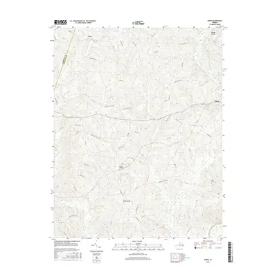
2016 Map of Aspen
USGS Topo · Published 2016About this map
Aspen and the village of Phenix anchor this Southside Virginia landscape, situated along the border of Campbell and Charlotte counties. The area is defined by a dense network of minor waterways including Cub Creek, Turkey Branch, and Louise Creek which drain toward the Roanoke River at the southern margin. The road names preserved here reflect the deep agrarian and social history of the region, where paths like Jordans Gate School Road and Bethel School Lane indicate former community centers.
Find a feature on this map
63 named features on this map. Tap any name to fly to it.
Don’t see what you’re looking for? This feature index may not catch every label — zoom into the map to look around manually.
Map Details
Editions of this 2016 Aspen Map
This is the sole edition of this map. No revisions or reprints were ever made.
Other maps of this area

1892 · Appomattox
USGS Topo · 1:125,000

1947 · Roanoke
USGS Topo · 1:250,000

1953 · Greensboro
USGS Topo · 1:250,000

1954 · Greensboro
USGS Topo · 1:250,000

1954 · Clover
USGS Topo · 1:62,500

1954 · Halifax
USGS Topo · 1:62,500

1956 · Brookneal
USGS Topo · 1:62,500

1956 · Charlotte Court House
USGS Topo · 1:62,500

1959 · Roanoke
USGS Topo · 1:250,000

1962 · Greensboro
USGS Topo · 1:250,000