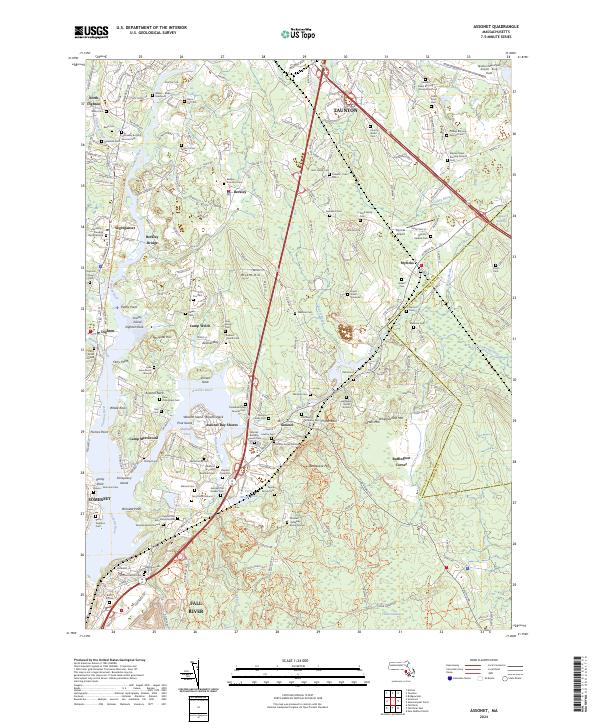
2024 Map of Assonet
USGS Topo · Published 2024About this map
The Taunton Wild and Scenic River defines the geography of this coastal area, winding past points of significant historical interest like Dighton Rock and Grassy Island. The landscape is dense with ancestral sites, particularly in the village of Assonet and around Berkley, where dozens of family burial grounds and colonial-era cemeteries are documented. Notable sites include the Assonet Old Quaker Cem and the Walker-Blake Graveyard, alongside numerous small family plots such as the Captain Job Terry Burial Ground.
Find a feature on this map
129 named features on this map. Tap any name to fly to it.
Don’t see what you’re looking for? This feature index may not catch every label — zoom into the map to look around manually.
Map Details
Editions of this 2024 Assonet Map
This is the sole edition of this map. No revisions or reprints were ever made.
Other maps of this area

1885 · New Bedford
USGS Topo · 1:62,500

1885 · Middleboro
USGS Topo · 1:62,500

1885 · Taunton
USGS Topo · 1:62,500

1888 · New Bedford
USGS Topo · 1:62,500

1888 · Fall River
USGS Topo · 1:62,500

1888 · Taunton
USGS Topo · 1:62,500

1888 · Middleboro
USGS Topo · 1:62,500

1893 · Taunton
USGS Topo · 1:62,500

1893 · Middleboro
USGS Topo · 1:62,500

1893 · Fall River
USGS Topo · 1:62,500