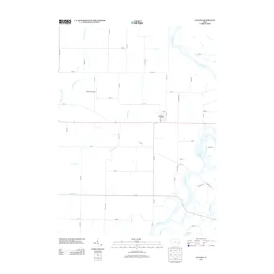
2013 Map of Atalissa
USGS Topo · Published 2013About this map
Atalissa serves as the central hub of this eastern Iowa landscape, situated along the east-west corridor of Highway 6. The town's grid is bounded by Depot St and 5th St, reflecting its position in a productive agricultural region defined by complex drainage systems and river bottomlands. To the west, the Walker Field Airport provides a local aviation landmark, while the southern and eastern portions of the quadrangle are dominated by the winding course of the Cedar River. The terrain is marked by significant hydrological management, evidenced by the long, straight reaches of the Goshen Ditch and Wales Ditch, which work to drain the low-lying areas surrounding the river. Natural wetlands persist at Wiese Slough and Lindle Lake, offering a contrast to the geometric section-line roads like Iron City Ave and Kelly Ave that segment the rural prairie.
Find a feature on this map
54 named features on this map. Tap any name to fly to it.
Don’t see what you’re looking for? This feature index may not catch every label — zoom into the map to look around manually.
Map Details
Editions of this 2013 Atalissa Map
This is the sole edition of this map. No revisions or reprints were ever made.
Other maps of this area

1891 · Wilton Junction
USGS Topo · 1:62,500

1894 · West Liberty
USGS Topo · 1:62,500

1901 · Stanwood
USGS Topo · 1:125,000

1948 · Muscatine
USGS Topo · 1:62,500

1953 · Wilton Junction
USGS Topo · 1:24,000
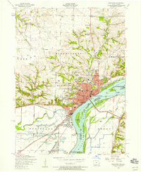
1953 · Muscatine
USGS Topo · 1:24,000
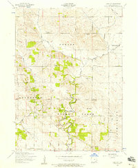
1953 · Lime City
USGS Topo · 1:24,000

1958 · Davenport
USGS Topo · 1:250,000

1961 · Davenport
USGS Topo · 1:250,000

1962 · Davenport
USGS Topo · 1:250,000