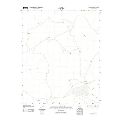
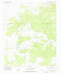
2010 Map of Atarque Lake
USGS Topo · Published 2010About this map
Atarque Lake and the surrounding high desert of western New Mexico define this landscape, where water management is the central theme of settlement. The map reveals a sophisticated network of ranching infrastructure, evidenced by numerous named water sources including the Franciscan Windmill, Chalk Windmill, and Deep Windmill. These features, alongside larger operations like the Beggs Cattle Company and Atarque Ranch, illustrate the reliance on groundwater in a region carved by seasonal drainage systems such as Thompson Draw and Venadito Draw.
Find a feature on this map
19 named features on this map. Tap any name to fly to it.
Don’t see what you’re looking for? This feature index may not catch every label — zoom into the map to look around manually.
Map Details
Editions of this 2010 Atarque Lake Map
This is the sole edition of this map. No revisions or reprints were ever made.
Other maps of this area

1954 · Saint Johns
USGS Topo · 1:250,000

1957 · Saint Johns
USGS Topo · 1:250,000

1958 · Saint Johns
USGS Topo · 1:250,000

1962 · Saint Johns
USGS Topo · 1:250,000
1972 · Upper Galestina Canyon
USGS Topo · 1:24,000
1972 · Plumasano Basin
USGS Topo · 1:24,000

1972 · Fence Lake
USGS Topo · 1:24,000
1972 · Mesita De Yeso
USGS Topo · 1:24,000

1972 · Cantaralo Spring
USGS Topo · 1:24,000
1972 · Ojo Caliente Reservoir
USGS Topo · 1:24,000