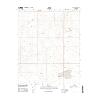
2017 Map of Atarque Lake
USGS Topo · Published 2017About this map
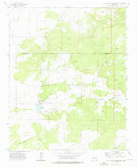
Atarque Lake sits in a high-desert landscape of Cibola County, where the terrain is defined by a series of significant drainage systems and prominent landforms. The map shows the convergence of several major draws, including Venadito Draw and Pinitos Draw, which carve through the high plateaus. The presence of Mesa Colorado in the northeast serves as a major geographical landmark in this sparsely populated region. Human infrastructure is minimal, represented primarily by Co Rd 32, which provides the only major vehicle access through the townships. The drainage patterns of Atarque Canyon and Terrero Draw reveal the complex natural hydrology that dictates the use of this New Mexico back-country, where water and topography have historically shaped the routes and settlements of the high plains.
Find a feature on this map
13 named features on this map. Tap any name to fly to it.
Don’t see what you’re looking for? This feature index may not catch every label — zoom into the map to look around manually.
Map Details
Editions of this 2017 Atarque Lake Map
This is the sole edition of this map. No revisions or reprints were ever made.
Other maps of this area

1954 · Saint Johns
USGS Topo · 1:250,000

1957 · Saint Johns
USGS Topo · 1:250,000

1958 · Saint Johns
USGS Topo · 1:250,000

1962 · Saint Johns
USGS Topo · 1:250,000
1972 · Upper Galestina Canyon
USGS Topo · 1:24,000
1972 · Plumasano Basin
USGS Topo · 1:24,000

1972 · Fence Lake
USGS Topo · 1:24,000
1972 · Mesita De Yeso
USGS Topo · 1:24,000

1972 · Cantaralo Spring
USGS Topo · 1:24,000
1972 · Ojo Caliente Reservoir
USGS Topo · 1:24,000