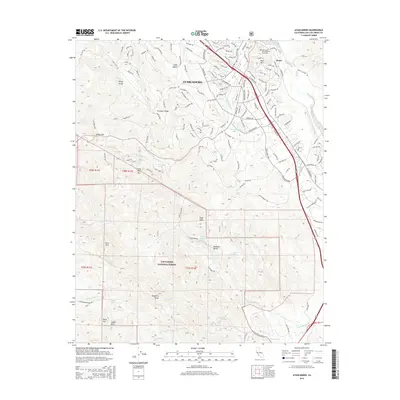
2015 Map of Atascadero
USGS Topo · Published 2015About this map
The community of Atascadero serves as the central hub of this Central Coast landscape, situated where the Salinas River drainage meets the rugged Santa Lucia Range. The settlement pattern is defined by a dense network of residential streets and avenues, including Carmelita Ave and Portola Rd, centered around the recreation area at Atascadero Lake. To the north, the Atascadero Pine Mountain Cemetery overlooks the valley near Pine Mtn.
Find a feature on this map
146 named features on this map. Tap any name to fly to it.
Don’t see what you’re looking for? This feature index may not catch every label — zoom into the map to look around manually.
Map Details
Editions of this 2015 Atascadero Map
This is the sole edition of this map. No revisions or reprints were ever made.
Other maps of this area

1897 · San Luis Obispo
USGS Topo · 1:62,500

1897 · Cayucos
USGS Topo · 1:62,500

1900 · San Luis
USGS Topo · 1:125,000

1919 · Paso Robles
USGS Topo · 1:62,500

1919 · Adelaida
USGS Topo · 1:62,500

1932 · Adelaida
USGS Topo · 1:62,500

1937 · Cayucos
USGS Topo · 1:62,500

1942 · Adelaida
USGS Topo · 1:62,500

1942 · San Luis Obispo
USGS Topo · 1:62,500

1943 · Paso Robles
USGS Topo · 1:62,500