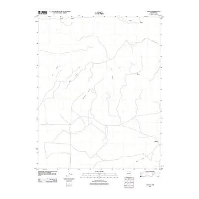
2010 Map of Atencio
USGS Topo · Published 2010About this map
The settlement of Atencio sits at the southern edge of a landscape defined by sharp elevation shifts and winding drainage paths in northeast New Mexico. To the north, Piñon Ridge overlooks a series of rugged terrain features, including Dry Canyon, Box Canyon, and Rodriguez Canyon. These geographical names suggest the historic importance of water management and natural corridors for travel through this high-altitude region.
Find a feature on this map
12 named features on this map. Tap any name to fly to it.
Don’t see what you’re looking for? This feature index may not catch every label — zoom into the map to look around manually.
Map Details
Editions of this 2010 Atencio Map
This is the sole edition of this map. No revisions or reprints were ever made.
Other maps of this area

1954 · Dalhart
USGS Topo · 1:250,000

1958 · Dalhart
USGS Topo · 1:250,000

1962 · Dalhart
USGS Topo · 1:250,000

1972 · Seneca
USGS Topo · 1:24,000

1972 · Mc Laughlin Bridge
USGS Topo · 1:24,000
1972 · Wedding Cake Butte
USGS Topo · 1:24,000

1972 · Cuates School
USGS Topo · 1:24,000
1972 · Goodson School
USGS Topo · 1:24,000

1972 · Atencio
USGS Topo · 1:24,000

1972 · Moses
USGS Topo · 1:24,000