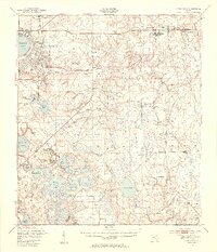
1949 Map of Ates Creek
USGS Topo · Published 1955About this map
Camp Blanding dominates the northwestern landscape of this post-war survey, showcasing its extensive military infrastructure including a Machine Gun Range and various training grounds. The era’s aviation footprint is visible at the Belmore Airfield (U S Navy), serving as a reminder of the region’s strategic importance during and after World War II. Further east, the town of Penney Farms appears as a planned community, complete with Memorial Homes, a Substation, and the Penney Farms Sch.
Find a feature on this map
48 named features on this map. Tap any name to fly to it.
Don’t see what you’re looking for? This feature index may not catch every label — zoom into the map to look around manually.
Map Details
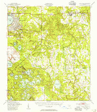
Editions of this 1949 Ates Creek Map
2 editions found
Other maps of this area

1912 · Palatka
USGS Topo · 1:48,000

1915 · Palatka
USGS Topo · 1:62,500

1915 · Interlachen
USGS Topo · 1:48,000

1916 · Interlachen
USGS Topo · 1:62,500

1917 · Orange Park
USGS Topo · 1:62,500

1918 · Middleburg
USGS Topo · 1:62,500

1918 · Lawtey
USGS Topo · 1:62,500

1918 · Orange Park
USGS Topo · 1:62,500

1938 · Hawthorn
USGS Topo · 1:48,000

1941 · Starke
USGS Topo · 1:62,500