1976 Map of Athalia
USGS Topo · Published 1979About this map
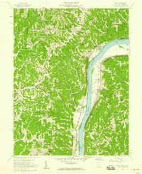
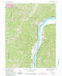
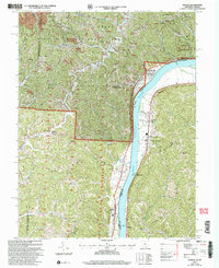
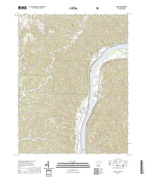
The Ohio River dominates this mid-1970s orthophotoquad, serving as the primary geographic border between Ohio and West Virginia. This aerial perspective shows the clustered development along the narrow riverbanks, where settlements like Athalia and Miller occupy the limited flat ground before the terrain rises sharply into the surrounding hills. On the West Virginia side, the larger cleared lands of Green Bottom and the riverside community of Lesage illustrate the agricultural and residential patterns of the era. To the north, Crown City sits near the river's edge, while the inland village of Platform represents the more secluded upland development. This specific type of imagery, produced in cooperation with the Soil Conservation Service, provides a raw look at land use and vegetation patterns along the Guyan drainage and the vital river corridor.
Find a feature on this map
8 named features on this map. Tap any name to fly to it.
Don’t see what you’re looking for? This feature index may not catch every label — zoom into the map to look around manually.
Map Details
Editions of this 1976 Athalia Map
This is the sole edition of this map. No revisions or reprints were ever made.
Historical Maps of Windsor Township Through Time
7 maps found