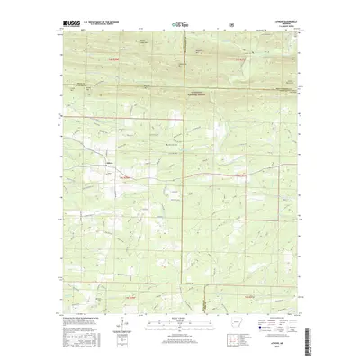
2017 Map of Athens
USGS Topo · Published 2017About this map
The community of Athens sits at the heart of this landscape where the Ouachita National Forest meets the southern foothills. This 2017 survey reveals a terrain defined by ridges and river valleys, with landmarks such as Brush Heap Mtn and Fodderstack Mtn towering over the drainages of the Saline River and the Little Missouri River. A network of forest and private roads, including the Athens-Big Fork N and Athens-Bigfork S trails, underscores the area's history of recreation and timber management. Genealogists will find significant local data in the several scattered burial sites, including the Athens Cem, White Oak Cems, and Brushy Cems. The convergence of Howard, Polk, Pike, and Montgomery counties within this quadrangle highlights its position as a central geographical point for regional research.
Find a feature on this map
110 named features on this map. Tap any name to fly to it.
Don’t see what you’re looking for? This feature index may not catch every label — zoom into the map to look around manually.
Map Details
Editions of this 2017 Athens Map
This is the sole edition of this map. No revisions or reprints were ever made.
Other maps of this area

1906 · Caddo Gap
USGS Topo · 1:125,000

1913 · De Queen
USGS Topo · 1:125,000

1936 · Athens
USGS Topo · 1:48,000

1942 · Athens
USGS Topo · 1:62,500

1950 · Mcalester
USGS Topo · 1:250,000

1955 · Little Rock
USGS Topo · 1:250,000

1956 · Little Rock
USGS Topo · 1:250,000

1959 · Umpire
USGS Topo · 1:62,500

1960 · Little Rock
USGS Topo · 1:250,000

1962 · McAlester
USGS Topo · 1:250,000