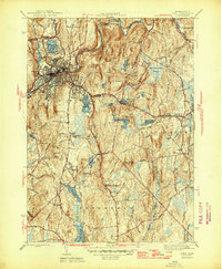
1946 Map of Athol
USGS Topo · Published 1946About this map
Athol sits at the industrial heart of this mid-1940s landscape, where the Millers River and the Boston and Maine Railroad converge to define the town's geography. The map reveals a transition from the dense urban grid of Athol to the rural townships of Phillipston and Petersham. A notable concentration of academic and conservation history is evident at the Administration Bldg Harvard Forest, anchoring a region of managed woodland and water resources including Reservoir No 1 and Bates Powers Reservoir.
Find a feature on this map
50 named features on this map. Tap any name to fly to it.
Don’t see what you’re looking for? This feature index may not catch every label — zoom into the map to look around manually.
Map Details
Editions of this 1946 Athol Map
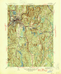
2 editions found
Other maps of this area

1887 · Warwick
USGS Topo · 1:62,500

1887 · Belchertown
USGS Topo · 1:62,500

1887 · Winchendon
USGS Topo · 1:62,500

1887 · Barre
USGS Topo · 1:62,500

1889 · Barre
USGS Topo · 1:62,500

1889 · Warwick
USGS Topo · 1:62,500

1890 · Belchertown
USGS Topo · 1:62,500

1890 · Winchendon
USGS Topo · 1:62,500

1893 · Belchertown
USGS Topo · 1:62,500

1894 · Winchendon
USGS Topo · 1:62,500